Digital Soil Mapping
Multitemporal Soil Pattern Analysis (MSPA)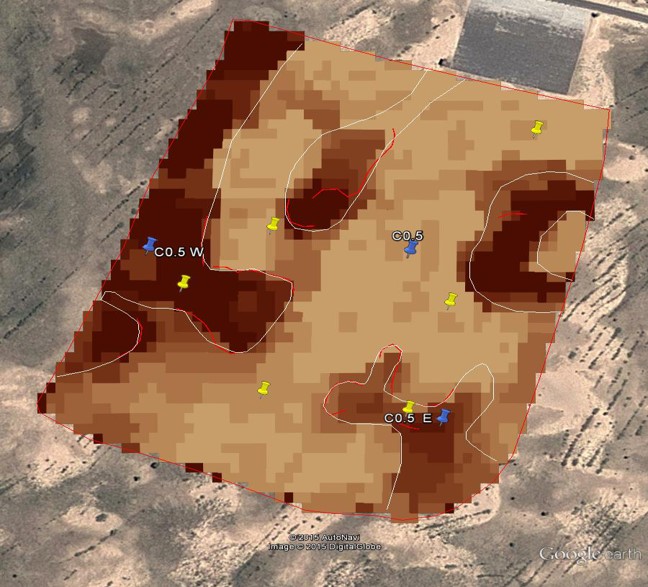
Application of the MSPA method using multispectral satellite image time series to croplands in UK and China
Last modified: Mon, 29 Feb 2016 15:15:34 GMT
Application of the MSPA method using multispectral satellite image time series to croplands in UK and China
Last modified: Mon, 29 Feb 2016 15:15:34 GMT