Data Capture
Data capture generates the high-resolution raw data essential for the delivery of the project’s objectives and takes place during Rome Transformed project months 7 to 24. This work package is divided into five tasks:
- Archival Analysis
- Scanning and Architectural Analysis of 17 standing buildings and open historic excavations
- Geophysical survey, consisting of the most extensive ground penetrating radar (GPR) survey ever conducted in Rome, electrical resistivity tomography and resistivity survey
- Environmental analysis, incorporating borehole survey
Archival Research
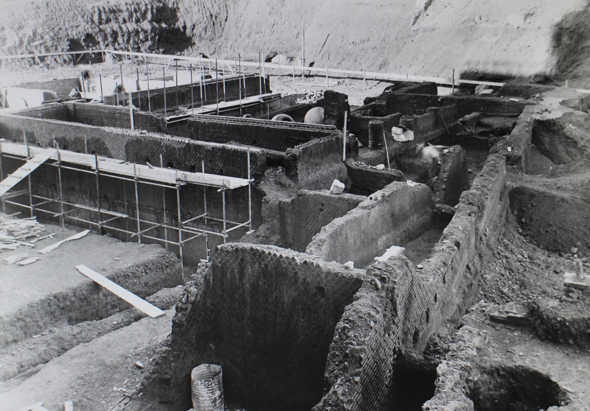
Given the nature of the archaeology re-assessed by the project, archival research provides an essential tool to gather as much information as possible about the discovery and original interpretation of the sites investigated by Rome Transformed.
It also provides unique information on the structures that have been discovered and recorded during the late Nineteen and Twentieth centuries and that are not visible anymore.
Archival research focuses on the careful re-examination of all the information available in Rome's historical archives, such as:
- the Archivio Apostolico Vaticano
- the Biblioteca di Archeologia e Storia dell'Arte di Palazzo Venezia
- the Archivio Storico Capitolino
- the Archivio di Stato di Roma
- the Archivio di Documentazione Archeologica at Palazzo Altemps (fondo Scrinari)
- the Archivio Storico e Disegni of the Sovrintendenza Capitolina ai Beni Culturali
- the Archivio Centrale di Stato
Rome Transformed has also established a useful collaboration with Rome's archaeology open access archive, the ARCHEOSITAR project. Data related to the Research Area in the archives of the Soprintendenza Speciale di Archeologia e Belle Arti di Roma not yet available on the platform will be gathered, digitised and made available through the platform.
The Archival Research Team is led by Francesca Carboni.
Scanning and Photogrammetry
3D data capture is at the core of Rome Transformed Data Capture strategy and is carried out within the framework of the Research Area survey control network. The Scanning and Photogrammetry team is led by Alex Turner.
Alongside 3D Laser Scanning and Photogrammetry, Structure From Motion data are recorded using light drones, such as Phantom 4 (DJI) e Anafi (Parrot), that better respond to the challenges posed by the size and scale of some of the buildings analysed by the project, such as the Neronian Aqueduct (Area 8) and the Aurelian Walls (Area 9).
The Drone Data Capture team is led by Professor Stefano Campana (University of Siena).

Structural Analysis

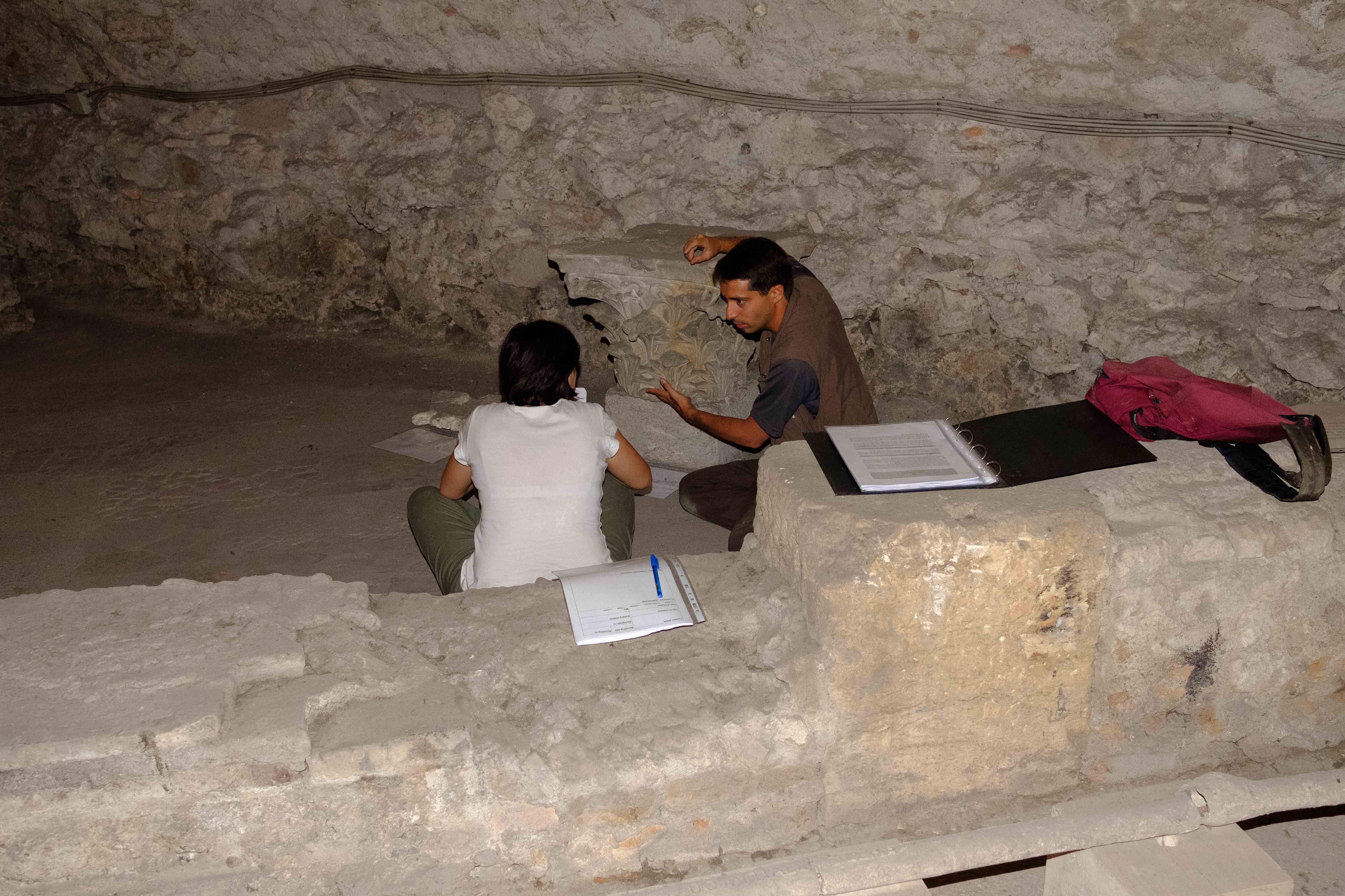
Structural Analysis is the archaeological and architectural reassessment of historic excavations of the standing buildings still visible across the Research Area (for a detailed presentation of the SA sites, see Archaeology).
Often brought to the light during the late Nineteen and early Twentieth centuries, most of the buildings desperately need a careful reassessment of all the surviving stratigraphy, which is generally limited to the relationship between structures, as few are the archaeological reports that provide information on soil stratigraphy.
Alongside providing the indispensable chronological framework to the project, Structural Analysis also focusses on broader aspects of the buildings' nature, function, transformations and architectural response to the existing natural and built constraints during the Roman and Early Medieval period.
Data gathered by direct observation on site are then incorporated into the project SA database that feeds into the 3D GIS and are analysed to produce technical reports for each SA site.
The Structural Analysis team is led by Dr Thea Ravasi.
Watch the video on Rome Transformed Structural Analysis (click here)
Geophysical Survey
Rome Transformed data capture strategy incorporates an ambitious programme of geophysical survey that binds the information provided by Structural Analysis and Archival Research together, connecting spaces that have been otherwise considered in isolation. The choice of the survey methods varies according to the specific nature of the area investigated and to the needs of the research for that specific area but three methods will be employed: Ground Penetrating Radar, Electrical Resistivity Tomography and Resistivity survey.
Alongside single antenna GPR survey methods, the project also incorporates multi-antenna GPR surveys that will make it possible to cover a surface of 12.5 hectares, the largest ever attempted in the city of Rome.
Geophysical data capture is carried out by three teams: one led by Salvatore Piro (CNR/ITABC); a second led by Stephen Kay (British School at Rome); a third led by Gianfranco Morelli (Geostudi Astier).
Watch the video on Challenges of archaeological prospections in complex urban environments (click here).
Environmental analysis
Rome Transformed Environmental Analysis aims at evaluating water distribution across the Caelian, by collecting sediment samples from targeted water features and assessing the rural to urban transformation of the area by collecting information from bore hole analysis from targeted areas. Our data capture strategy is based on the acquisition of bore hole data, the incorporation of legacy data from other excavations and column samples from within exposed excavated area.
Environmental Analysis is carried out by Dr Lisa-Marie Shillito (environmental archaeologist) and Dr Carlo Rosa (geoarchaeologist and geomorphologist).
.jpg)
