Land Cover
The Land Cover Map 2007 for the Haltwhistle Burn Catchment is presented below. This data has been sourced from the Centre of Ecology and Hydrology (CEH).
View larger map
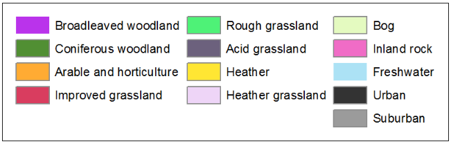
What do the colours represent?
Land Cover Statistics
| Land Cover Name | Catchment Cover (%) | Area (km2) |
| Broadleaved woodland | 2.32 | 0.96 |
| Coniferous woodland | 19.36 | 8.04 |
| Arable and horticulture | 0.77 | 0.32 |
| Improved grassland | 28.65 | 11.90 |
| Rough grassland | 2.68 | 1.11 |
| Acid grassland | 31.08 | 12.91 |
| Heather | 1.22 | 0.51 |
| Heather grassland | 9.64 | 4.00 |
| Bog | 1.60 | 0.66 |
| Inland rock | 0.04 | 0.02 |
| Freshwater | 1.69 | 0.70 |
| Urban | 0.11 | 0.05 |
| Suburban | 0.79 | 0.33 |
CEH_LandCover_doc PDF 2,272Kb
For more information on the CEH Land Cover Map 2007 data.
