Download Maps
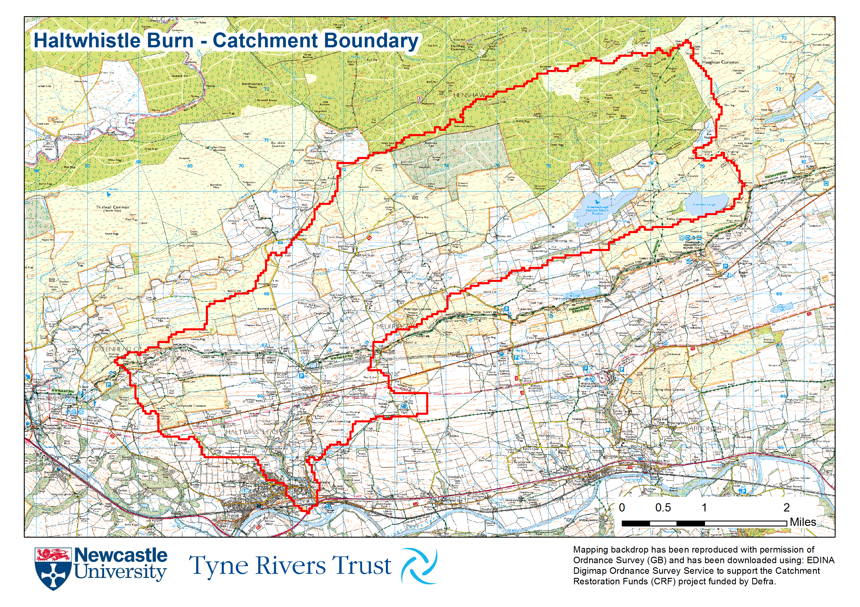
Haltwhistle Burn Catchment Boundary Image 3,210Kb
Download a copy of this A4 map to locate the Haltwhistle Burn Catchment Boundary (presented as a red line).
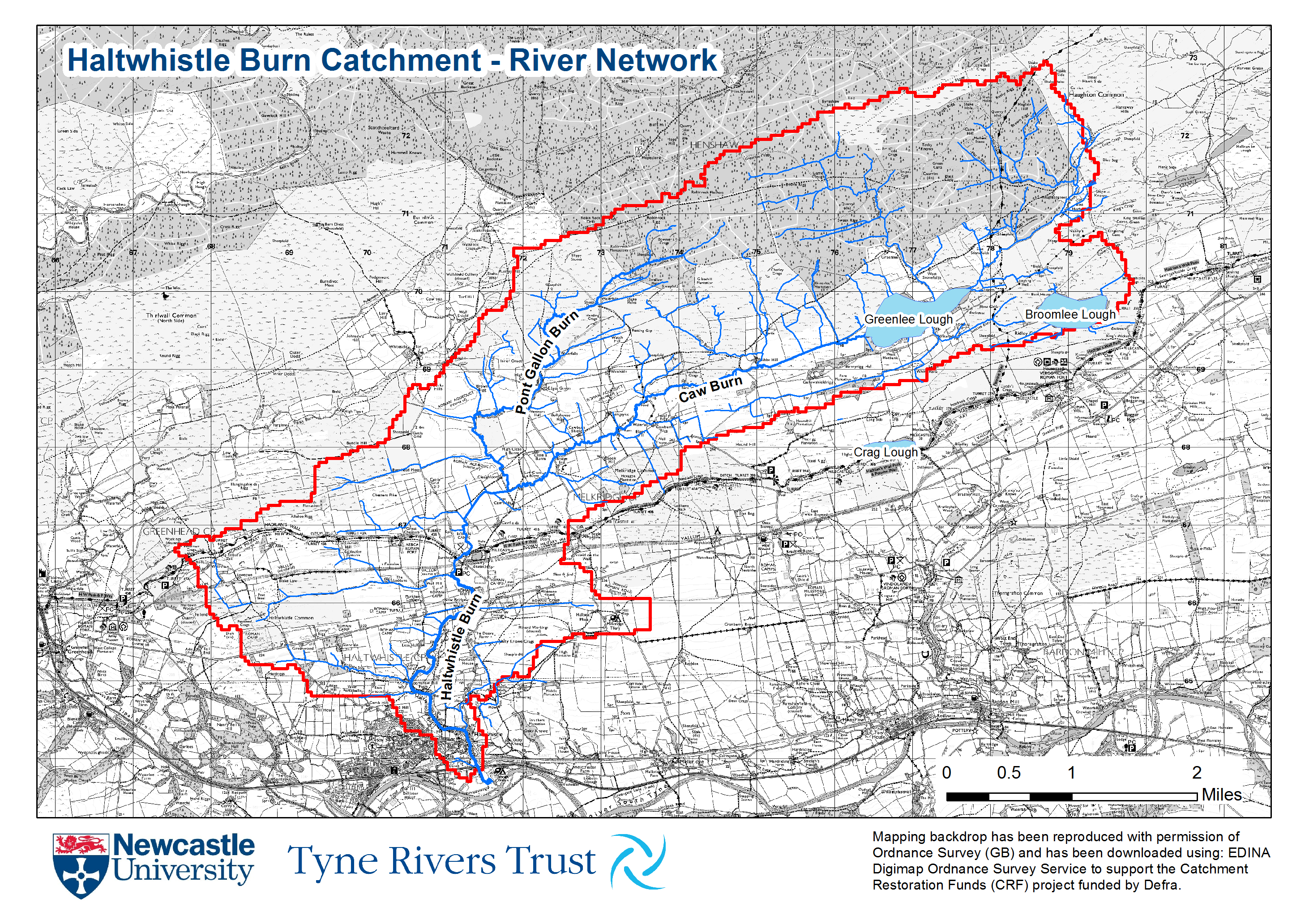
Haltwhistle Burn Catchment - River Network Image 2,223Kb
This A4 map locates all the watercourses within the Haltwhistle Burn catchment, including Caw Burn and Pont Gallon Burn. For all river names, please visit the 'River Network' page.
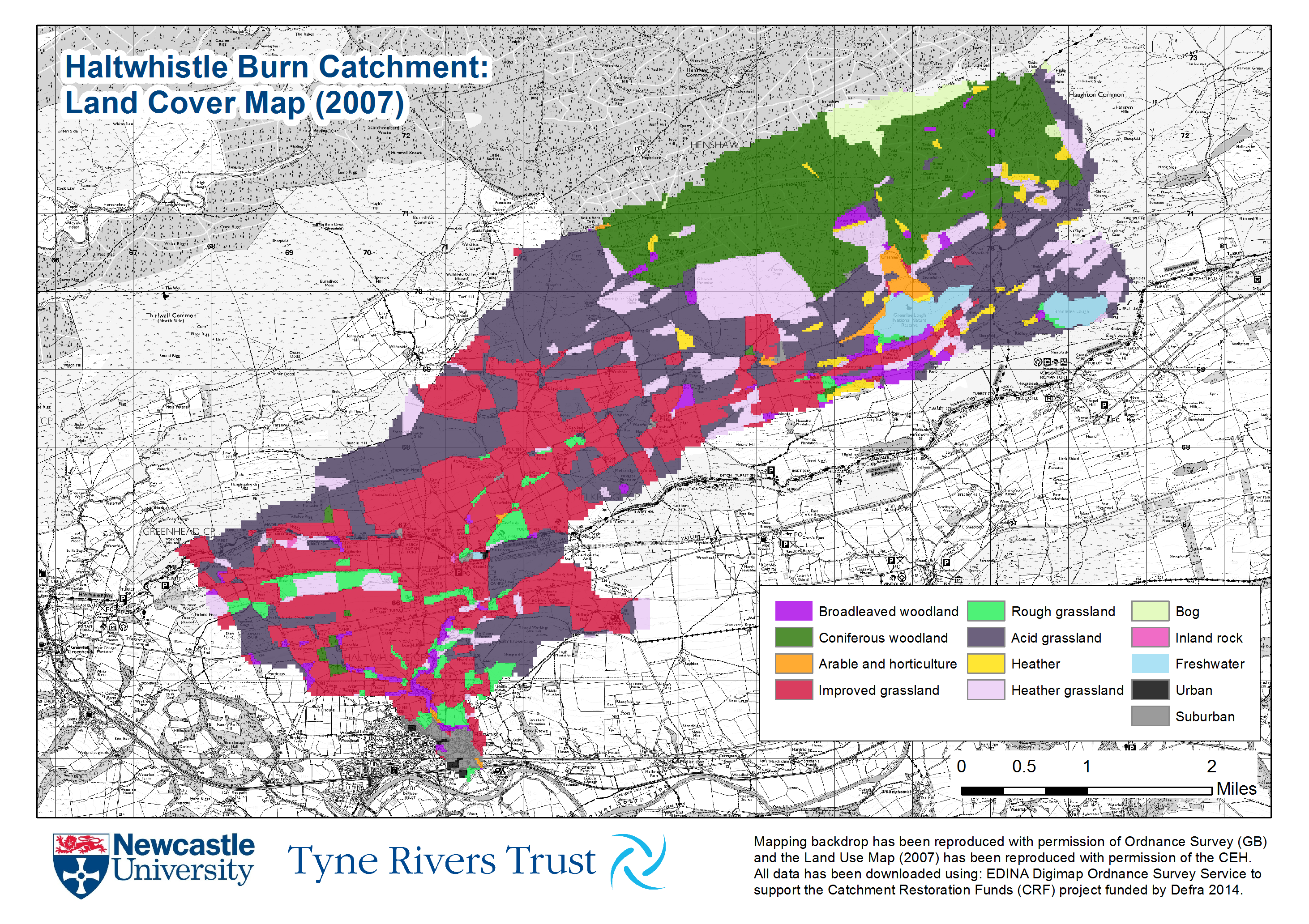
Haltwhistle Burn Catchment - Land Cover Image 2,501Kb
An A4 map containing the CEH Land Cover Map (2007) for the Haltwhistle Catchment.
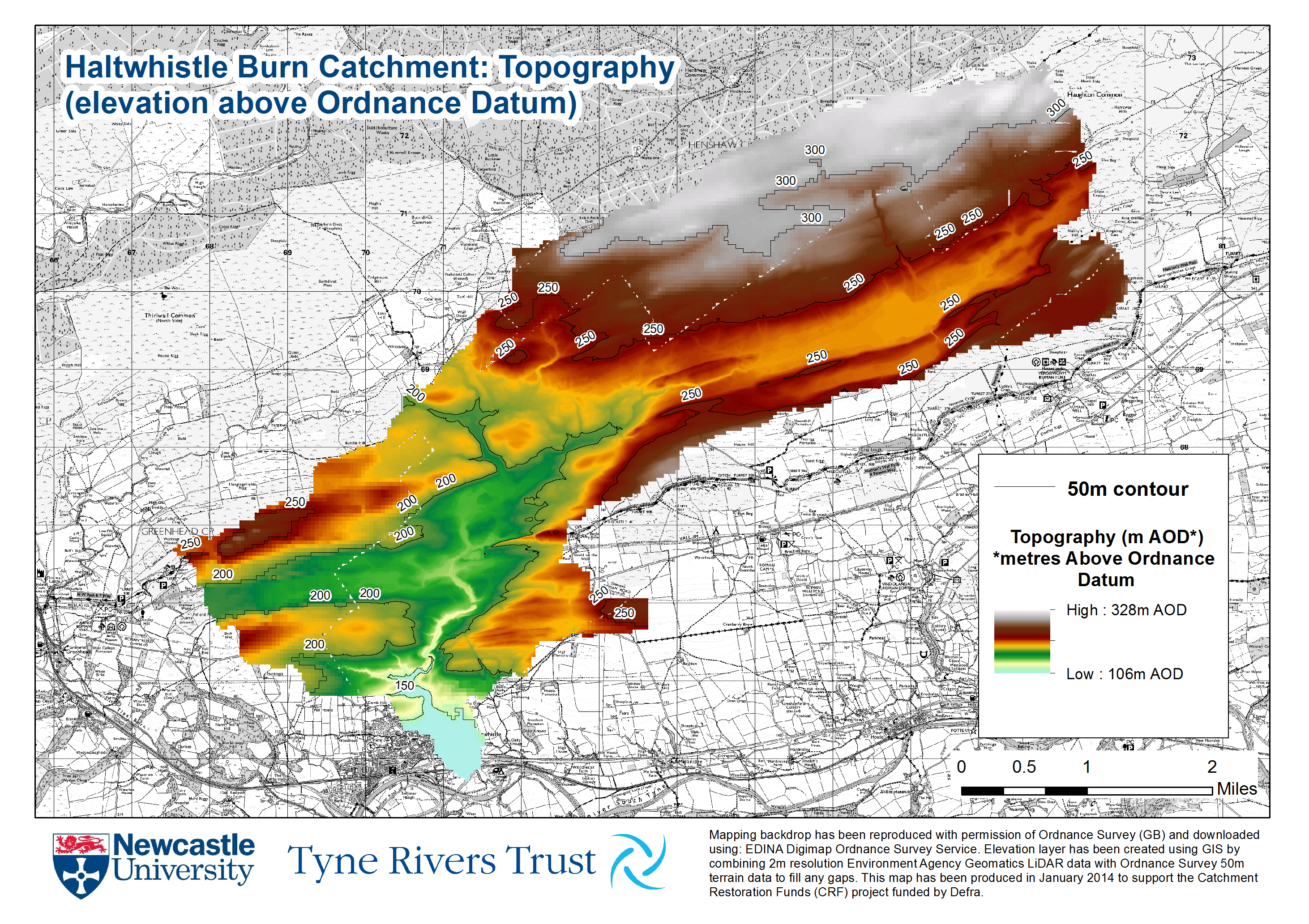
Haltwhistle Burn Catchment - Topography Image 2,196Kb
This is an A4 map showing the catchment topography (elevation).
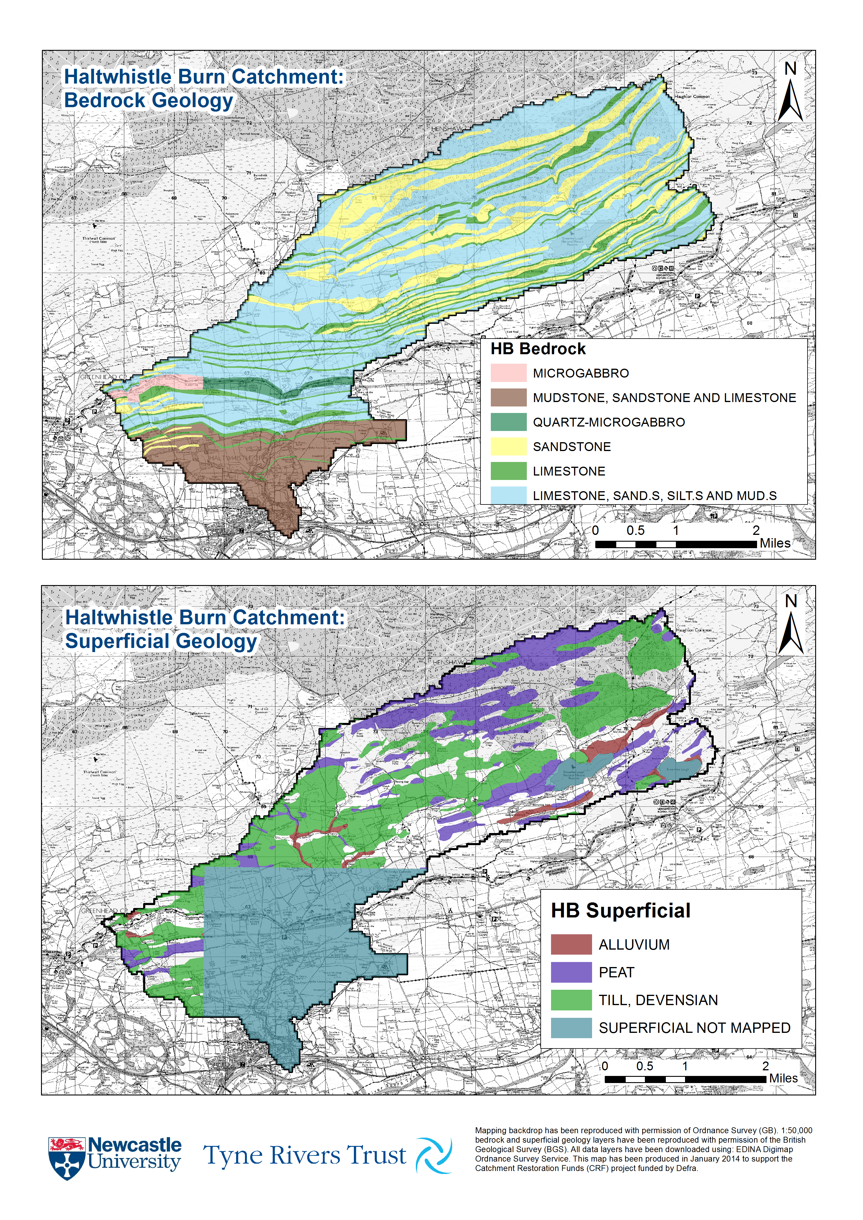
Haltwhistle Burn Catchment - Geology Image 4,192Kb
This A3 image maps the bedrock and superficial geology for the Haltwhistle Burn Catchment.
