Historical Images
1787 COLLIERIES MAP
Author: Gibson, J. 1787. Portion of the map reproduced with permission of the British Library.
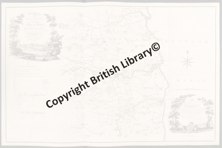
Plan of the COLLIERIES on the RIVERS Tyne and Wear also Blyth, Bedlington and Hartley; with the Country 11 Miles round Newcastle.
© The British Library Board (Maps K.Top.32.44)
This 1787 map highlights the established role of Blyth in the early phase of the British industrial revolution although the shipping of coal started in the 14th Century. The map shows the wagon way linking the colliery to the Blyth staithes (wooden platforms for loading and unloading cargo) in the harbour area.