GIS and modelling
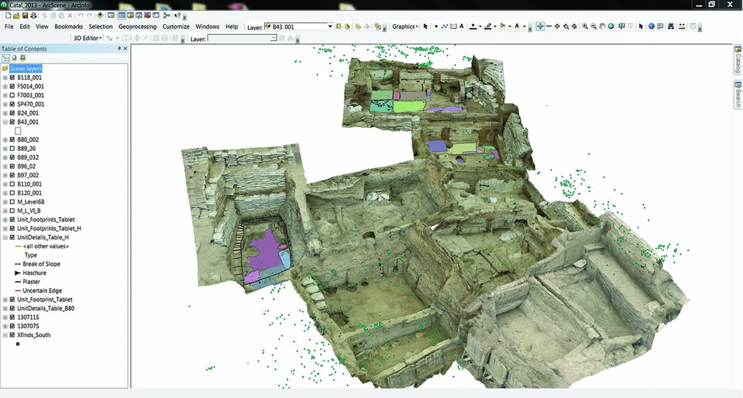
This interdisciplinary project combines archaeological and GIS analysis of fuel and health, using modern modelling tools for estimating the impact of air quality on human health (Namdeo and Bell 2004), developed by civil engineer experts in environmental health monitoring. The detailed GIS of the Çatalhöyük archive is a flagship component of the 25-year excavation project. The GIS contains spatial information on the location of all ash deposits and features associated with burning, such as hearths. Temporal data will also enable an assessment of how the spatial distribution changes over time. The pilot project will also assess the feasibility of applying modern urban air modelling techniques to an archaeological settlement, to simulate the movement of air within and between buildings, and enable an estimation to be made of the volume of particulate matter that the inhabitants were exposed to, and how this changed over time.

Image showing 3D GIS as a visualisation and interpretation tool, from Beggren et al. 2015 in Antiquity


