News & Events
Earls Barton Fieldwork, April 2024
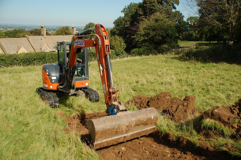
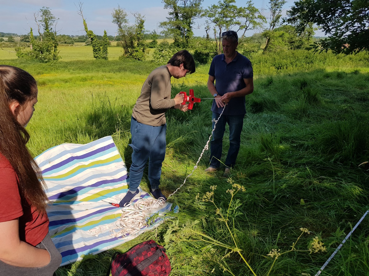
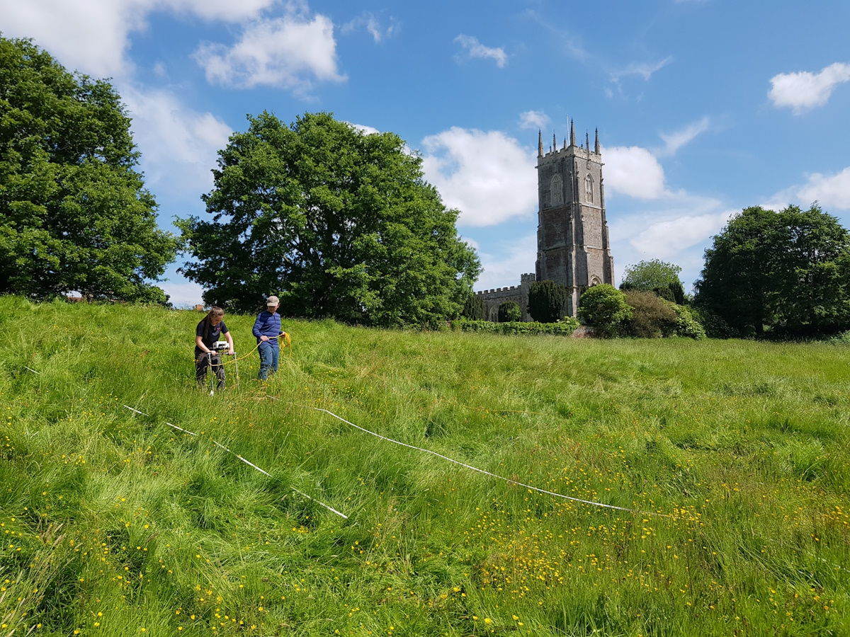
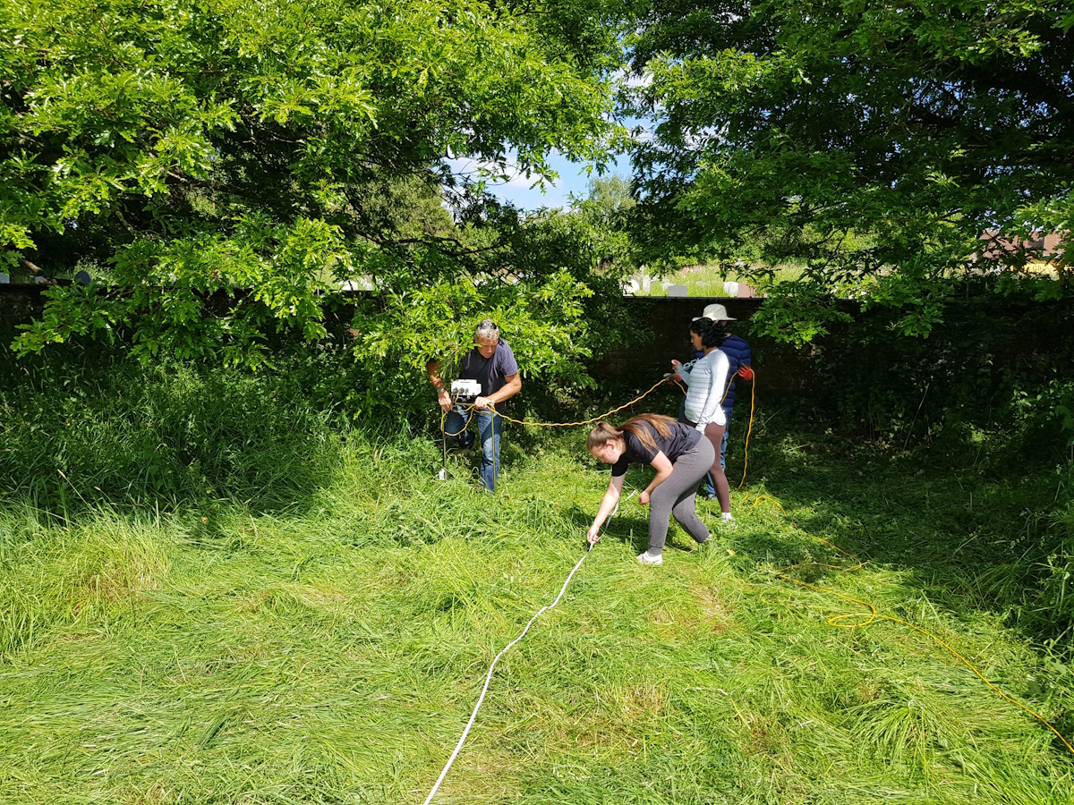
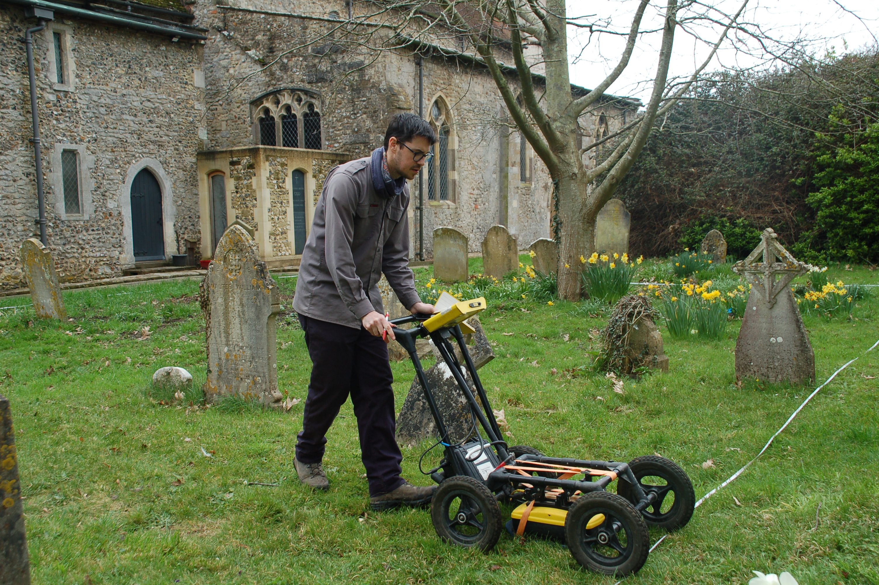
Where Power Lies has undertaken another site survey, this time at Earls Barton, Northamptonshire, where we undertook magetometry and ground penetrating radar surveys. A 'technical hitch' with our restivity meter meant we were unable to use that piece of kit so we hope to return to the site at a later date to complete the survey.
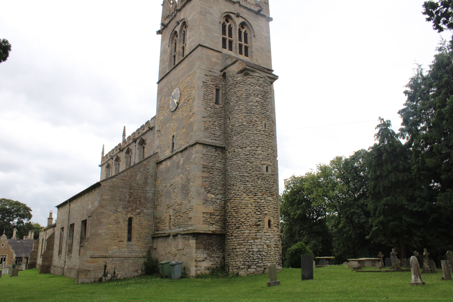
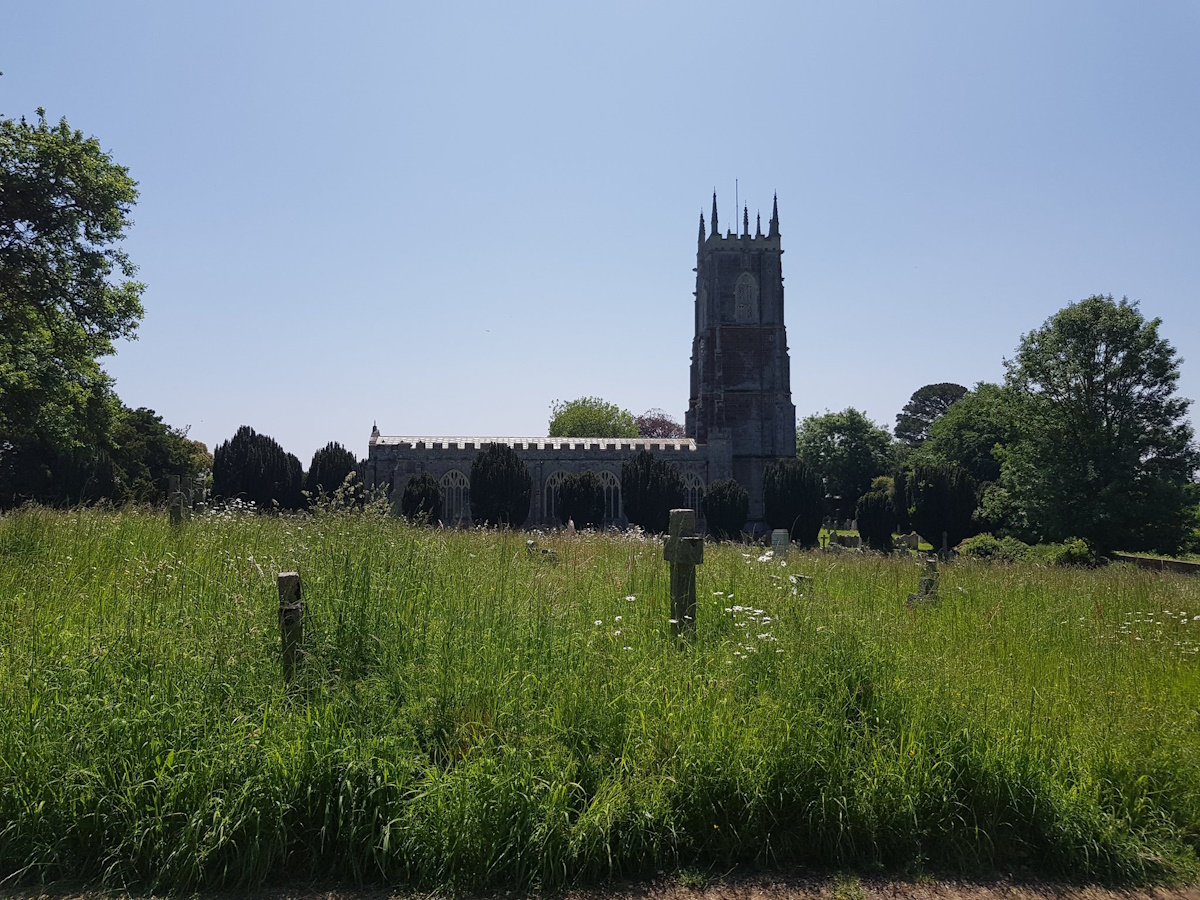
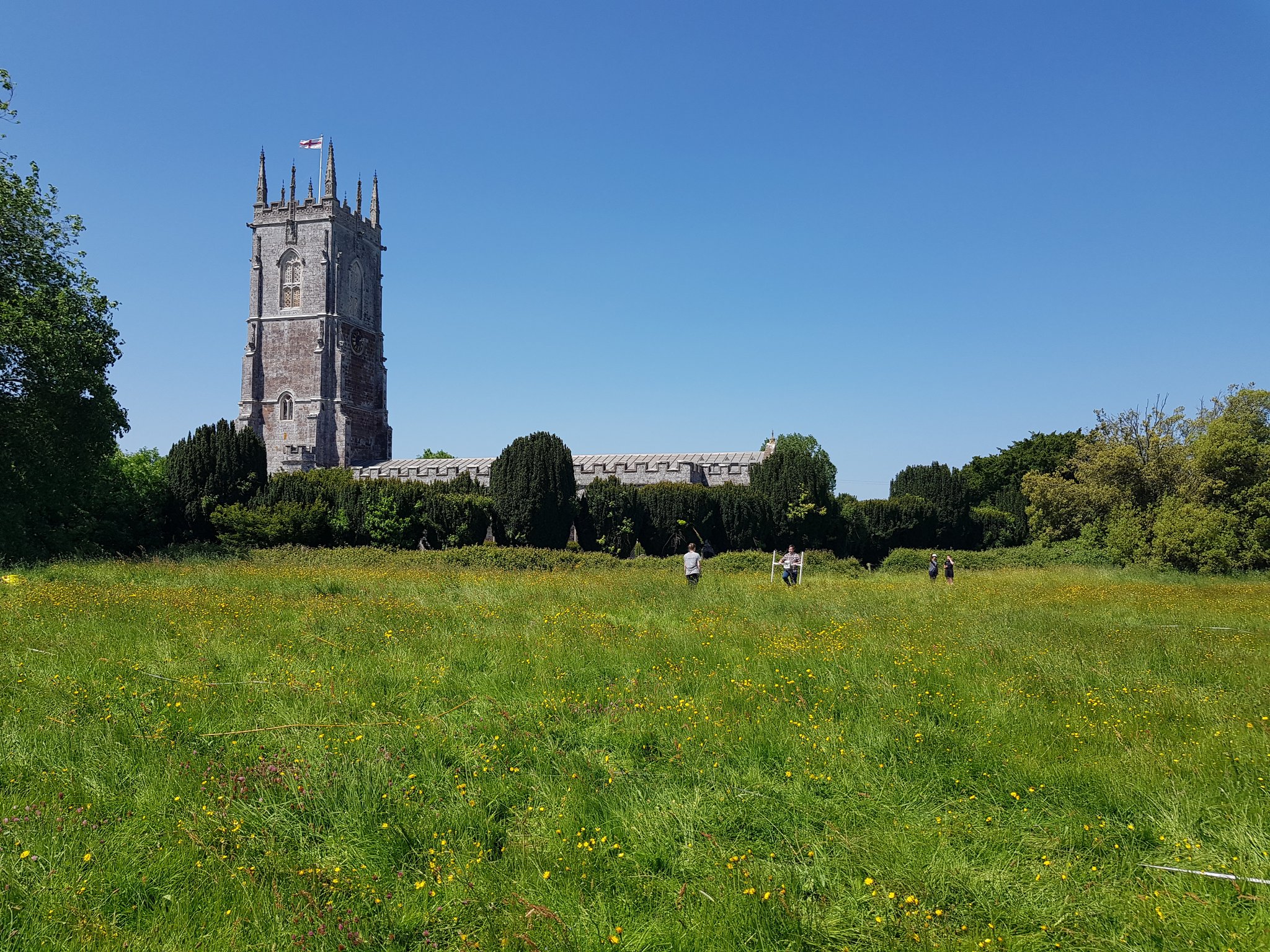
Earls Barton features a mid-11th-century All Saints church whose tower was originally constructed as a free-standing tower nave. Interestingly, a series of burials in the graveyard appear to pre-date the construction of the church and which may therefore have been associated with an earlier church. Adjacent to the church is a motte earthwork known as Berry Mount whose relationship with the church has yet to be fully resolved and the defensive ditch encircling the motte may in fact be pre-Conquest in date. It is possible then that the presence of a mid-11th-century church and a pre-Conquest defensive ditch preserves evidence of a late Saxon lordly centre upon which a Norman motte was imposed. Where Power Lies' survey will therefore shed light on the form and chronology of the site.

Ground Penetrating Radar survey of the field to the north-east of Healaugh's church

Attempting to undertake a resistivity survey on Berry Mount.
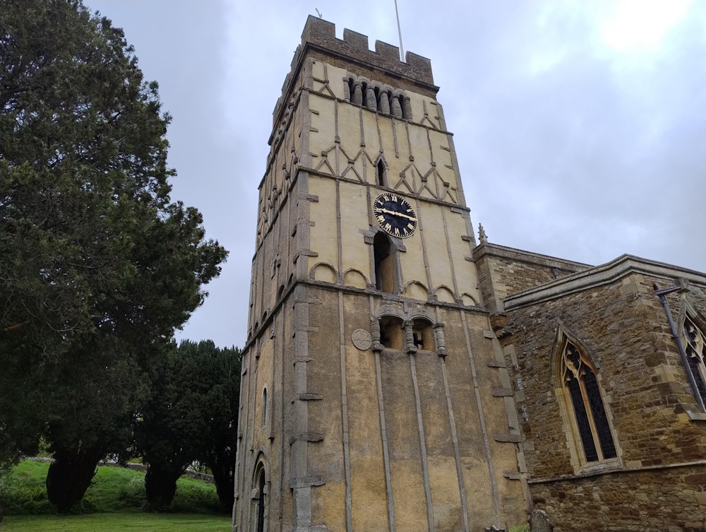
The mid-11th-century tower of All Saints church, Earls Barton.
Healaugh Fieldwork, March 2024
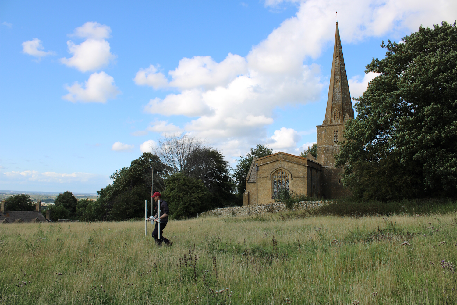
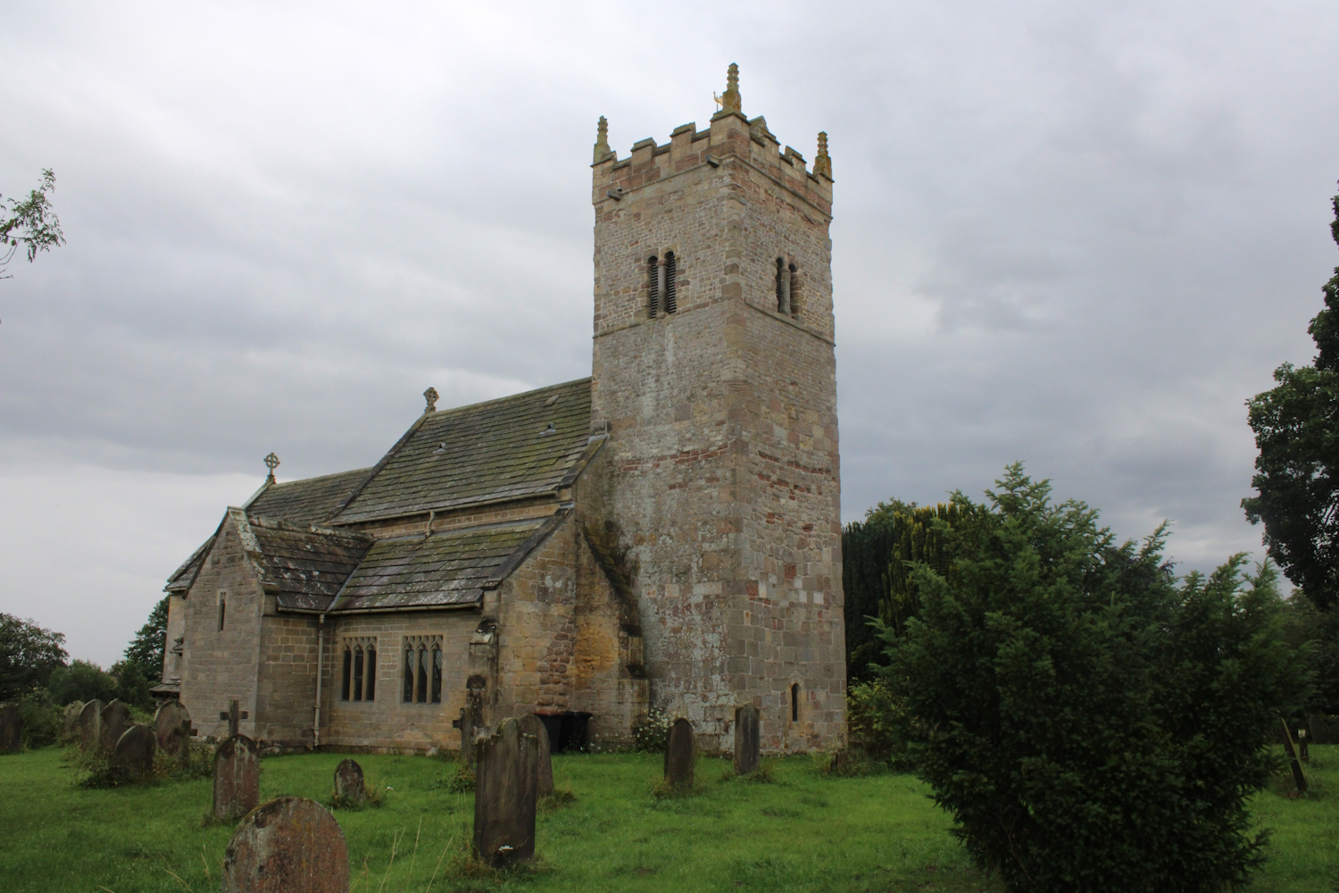
The project team have spent a few days in Healaugh, North Yorkshire, undertaking a magnetometry survey of two fields next to the 12th-century church of St John. Immediately north of the church is the remains of a possible ringwork, while to the east of the church LiDAR images reveal a number of earthworks including possible building platforms, enclosures and perhaps a medieval garden; LiDAR images of the field to the west of the church are less revealing although several earthworks are visible on the ground, perhaps representing former medieval settlement remains. Hopefully the project's survey will be able to shed light on the remains in the area immediately surrounding the church.
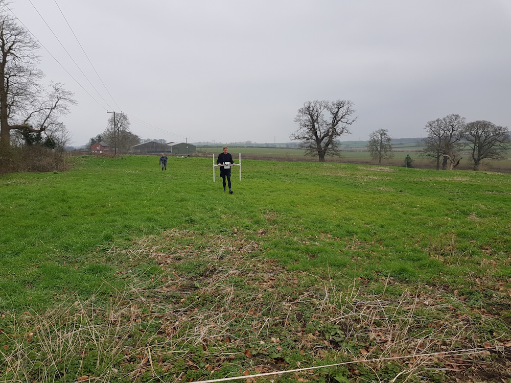
Magnetometry survey of the field to the north-east of Healaugh's church

Magnetometry survey of the field to the north-west of Healaugh's church with the remains of a possible ringwork visible.
Project update in the Castle Studies Trust Blog
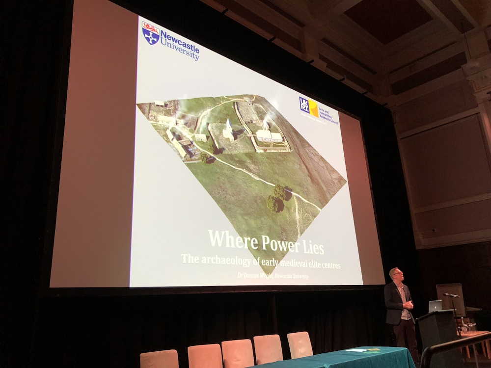
The Febuary 2024 edition of the Castle Studies Trust Blog has a piece written by Where Power Lies' principal investigator, Dr. Duncan Wright, providing an update on the project.
The piece can be accessed here.
North-Eastern Fieldwork, November 2023.
The project team have headed up north to undertake a series of fieldwork at several sites within our north-eastern research area, including Hornby, Little Ouseburn and Healaugh in Yorkshire and Owston Ferry in Lincolnshire. We were able to undertake Ground Penetrating Radar (GPR), magnetometry, earthwork and standing building surveys at these sites, as well as being to scope a selection of other sites for possible future fieldwork.
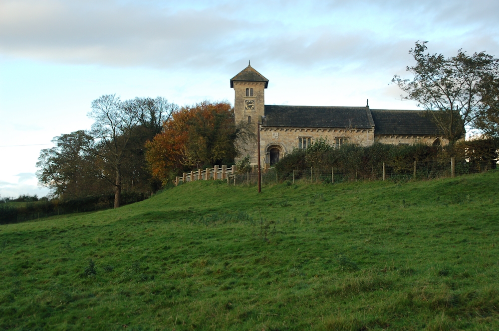
Church of St John the Baptist in Healaugh, Yorkshire. The earliest part of the church dates to the mid-12th Century with the former manorial site lying to west of the church.
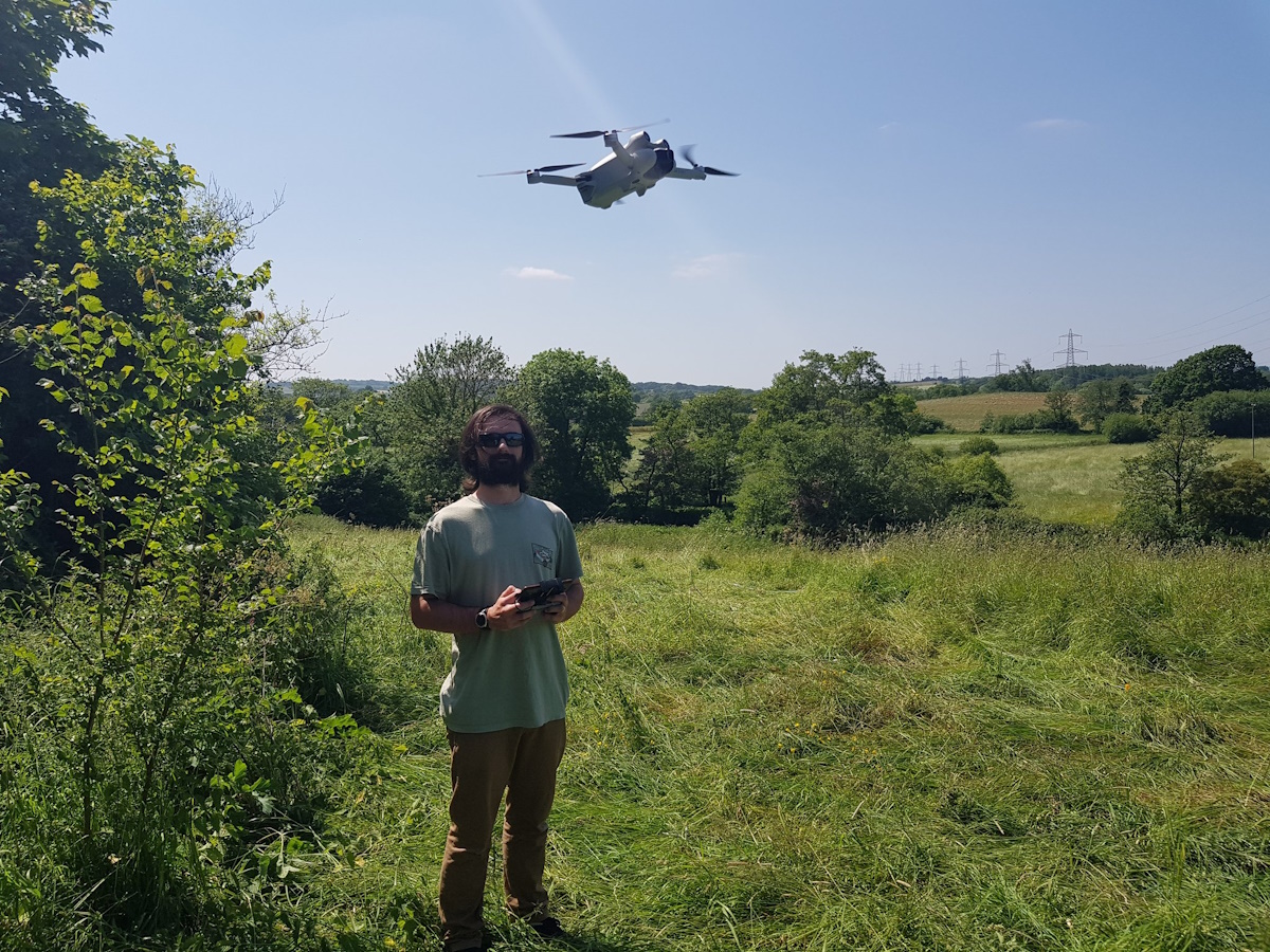
Another key component of our fieldwork surveys is the use drone photogrammetry, which allows us to create 3D models of our sites. Although we are currently still processing our data obtained duriing our most recent fieldwork, the two links below give examples of earlier photogrammetry surveys of the aristocratic site at Laughton en le Morthen, Yorkshire, produced by Adam Sanford and Aerial Cam Ltd.:
- Untextured survey of Laughton en le Morthen
- Textured survey of Laughton en le Morthen

Undertaking a drone photogrammetry survey at The Holy Trinity church, Little Ouseburn, Yorkshire.

The project's drone in mid flight.
Portable Antiquities Scheme Conference, October 2023
The Portable Antiquities Scheme's (PAS) national 2023 conference was held in York on October 5th, with Dr Duncan Wright of the Where Power Lies project presenting a keynote lecture. One strand of the project's work is the use of PAS data to help identify potential elite sites and the conference was the perfect opportunity to present initial findings and also to gain further insights into how the project can best use PAS data.
Dr. Duncan Wright presenting at the PAS 2023 conference (photo by Emily North of the Yorkshire Museum).
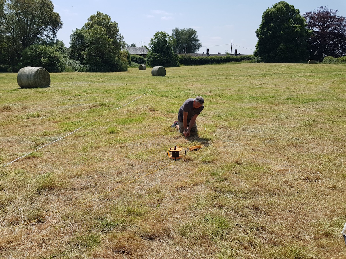
Saintbury OSL Dating, September 2023
We have once again returned to Saintbury, this time to perform some OSL dating of the what we hope is the former manorial enclosure west of the church. OSL, or optically stimulated luminesence, dating is a way of measuring when buried objects, including sediments, were last exposed to sunlight. While the science behind OSL is a little bit more technical than that brief summary, we essentially hope to find a date for the enclosure.
Despite the amount of archaeological features present on the site, which have now become even more exciting (or perhaps confusing) with the discovery of what seems to be Roman pottery found when digging the trench for our OSL dating, the site remains frustrating anonymous and a trip to Gloucester Archives has returned only a few scraps of information. Hopefully the present survey will therefore help to shed some light on the site's history.
Preparing the trench to undertake our OSL dating.
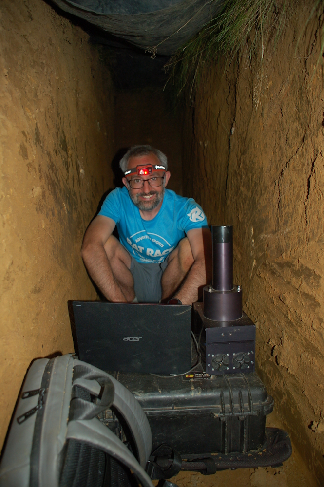
Dr. Tim Kinnaird of the University of St Andrews down in the trench collecting OSL samples.
Saintbury Survey, July 2023
The Where Power Lies team have returned to Saintbury in north-east Gloucestershire to undertake a series of geophysical surveys in the fields immediately to the west and east of the church. Despite a couple of technical hitches, we managed to complete a magnetometry survey, which did reveal some pretty impressive results, not least the presence of a possible hall in an enclosure west of the church.
Our geophys expert Scott conducting a magnetometry survey in the field west of the church.
North-East Site Visits, July 2023
Earlier this year, the Where Power Lies team visited a number of sites within south-west England to identify further possible case studies; now the time has come to identify possible case study sites in north-east England. The team spent two mainly rain-drenched days visiting several sites across Lincolnshire and Yorkshire to assess the potential for undertaking geophysical surveys, which have been pencilled in for November 2023. A number of sites visited contained particularly impressive examples of pre-Conquest stonework in their churches:
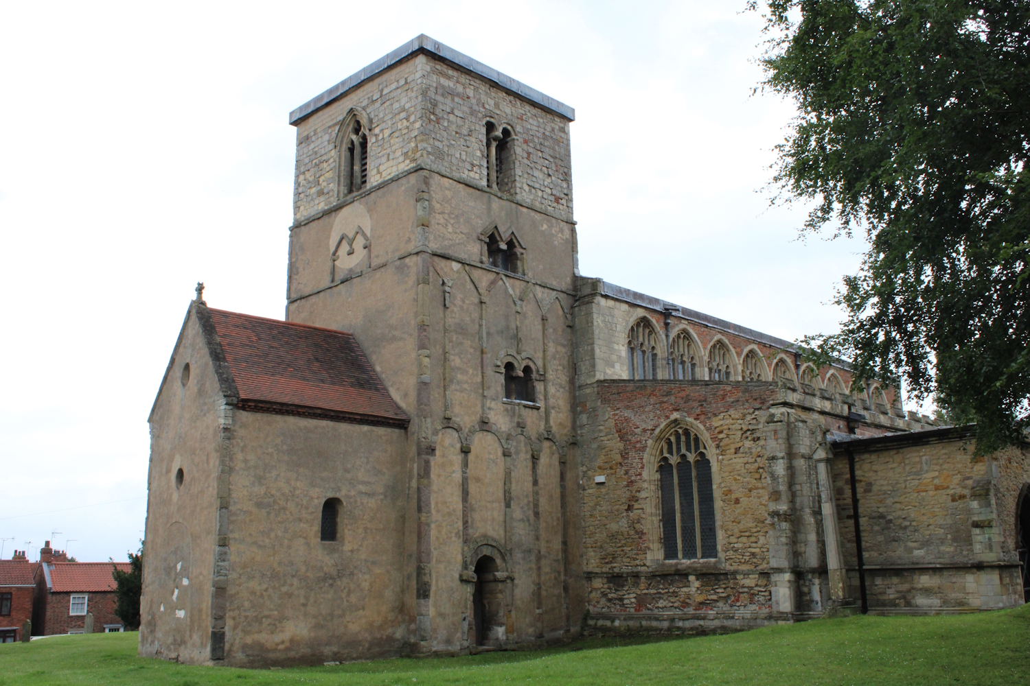
St Peter, Burton-Upon-Humber, Lincolnshire - the church tower and baptistry are Saxon in date, possibly as early as the 9th century.
All Saints, Hough-on-the-Hill, Lincolnshire - the lower courses of the tower and its stair turret probably date from the 10th century.
The Holy Trinity, Little Ouseburn, Yorkshire - the tower and chancel date from the 11th century.
Broadclyst Survey, May/June 2023 - Day 6
Day 6 was the final day of our Broadclyst survey and we were able to finish the restivity and magnetometry surveys of the field south of the church and all that remains is to process all of the data that we collected and write up our reports. The last day generally went without a hitch although someone, who may or may not have been a certain Professor Creighton, did manage to slightly damage (or break, if we're being honest) our resistivity equipment, although a quick pop to the local shop to buy gaffer tape, scissors and tweezers managed to solve the problem. The day ended with a quick lesson for the students on how to use the archaeology department's hand-held GPS.
Attempting to fix the remote probes of our resistivity equipment.

A quick GPS lesson marks the end of our Broadclyst survey.
Broadclyst Survey, May/June 2023 - Day 5
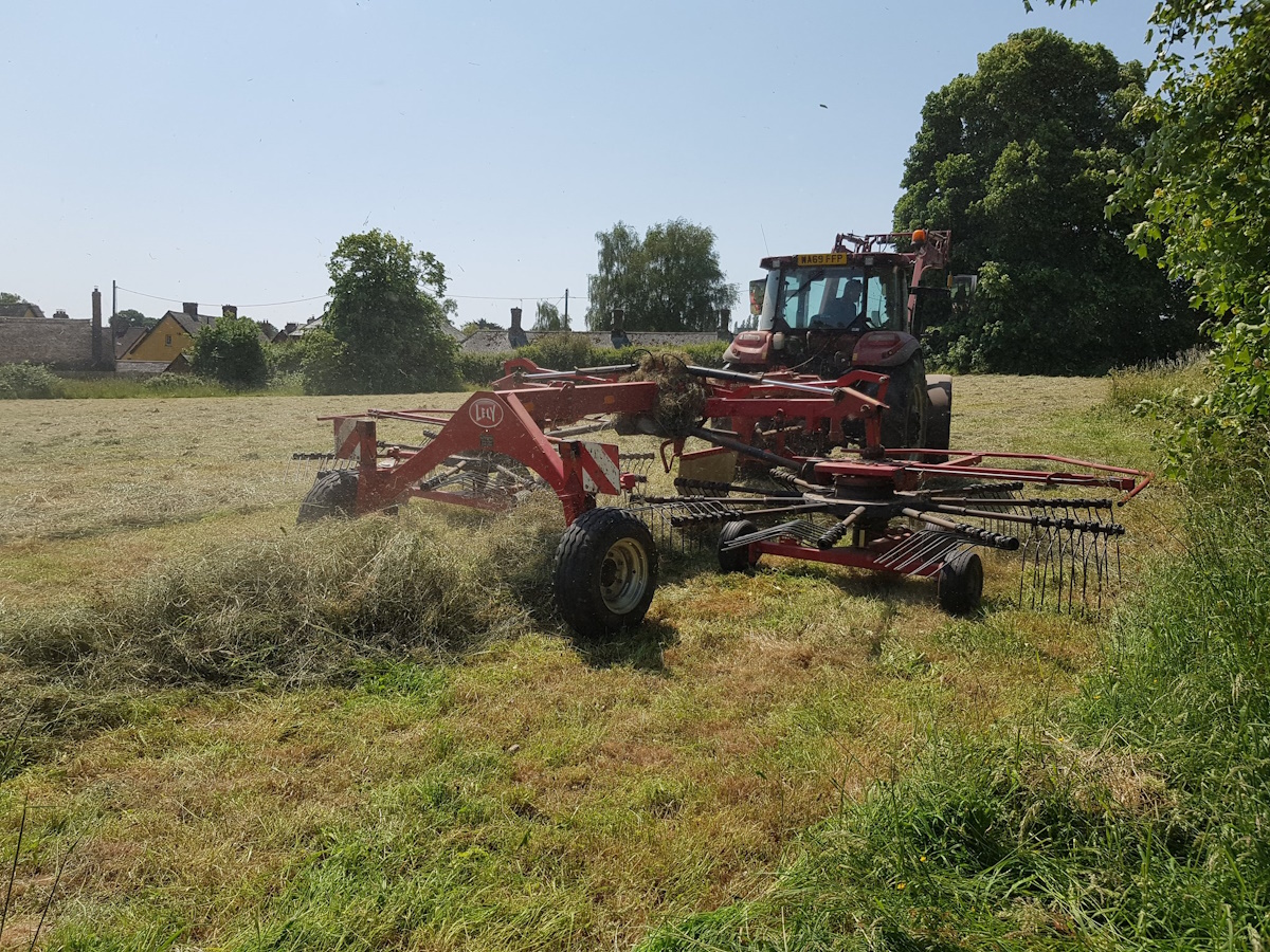
Day 5 of the Broadclyst survey saw the continuation of the resistivity and magnetometry surveys in the field south of the church. Early on in the day we had an unexpected visitor in the form of an industrial grass cutter, which while making our survey easier, did mean we had to make a hasty retreat to the edge of the field or risk being mowed down mid-survey. Although unexpected, this grass mowing did reveal an area of terracing that had previously been hidden under the tall grass and which we hope is related to the manorial complex. Another unexpected surprise was that the area around the manor house's undercroft had also been trimmed of plants revealing part of the north wall at the junction with the east wall.
An unexpected mid-survey guest to our southern field.
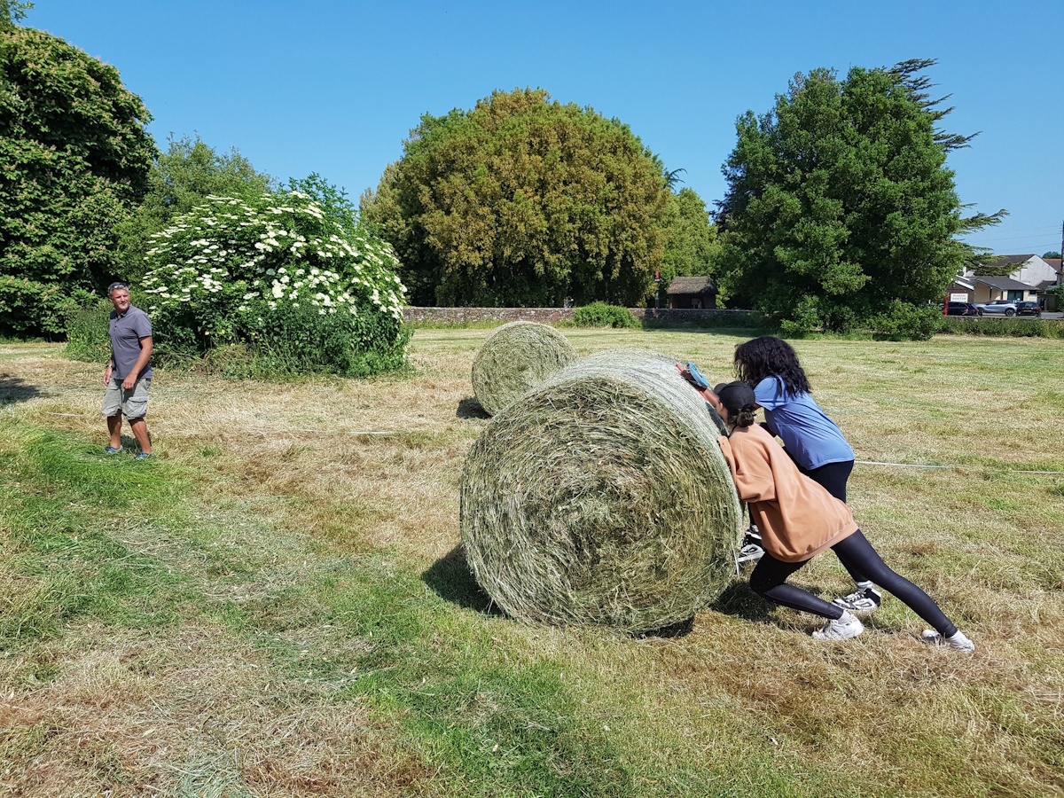
A grass bale won't get in the way of us surveying.
The newly revealed junction of the east and north walls of the manor house's undercroft.
Broadclyst Survey, May/June 2023 - Day 4
Day 4 of the Broadclyst survey saw a new group of students join us as we moved the resistivity survey into the field north of the church and manor house. Fortunately for us, this was probably the last day of the summer when the field will be empty before the tenant farmer moves his cattle into the field. We also conducted a drone survey of our study area to get a bird's eye view of the site.
Conducting a resistivity survey north of Broadclyst's church.
Preparing the drone for a fly-over of the site.

Archaeo-dog. The tenant farmer's dog came to lend a hand. Didn't really pull his weight if we're honest, but he was very cute.
Broadclyst Survey, May/June 2023 - Day 3
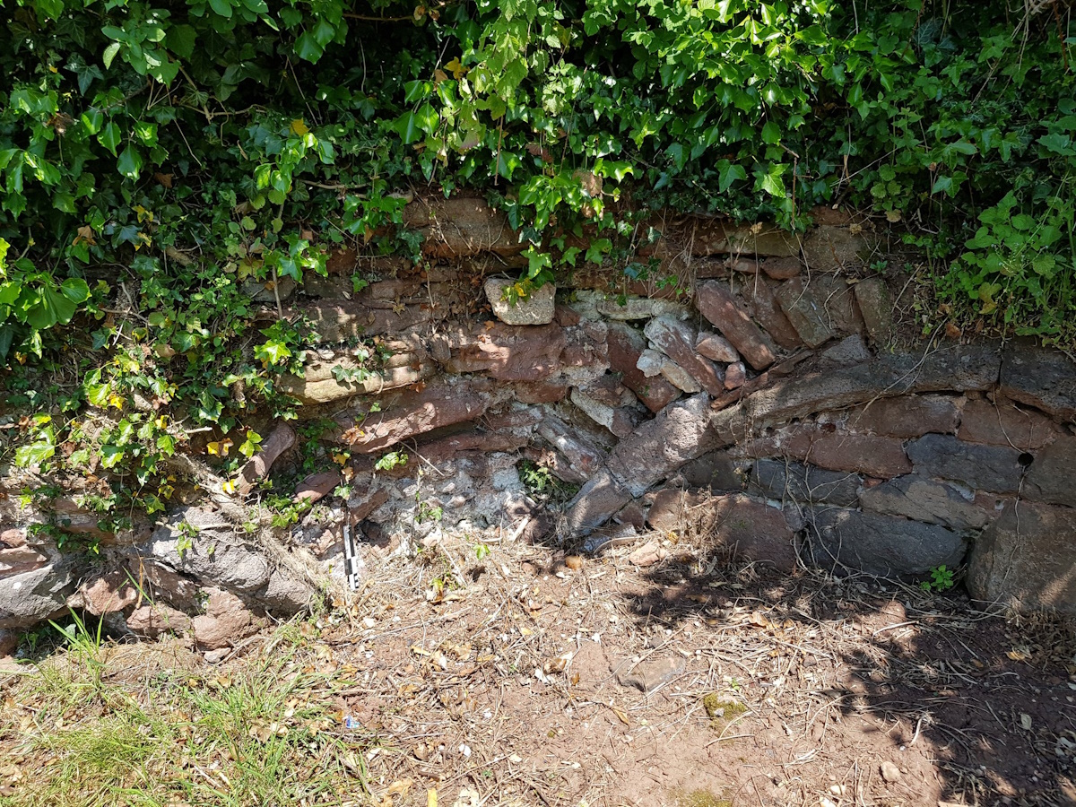
Day 3 of the Broadclyst survey saw the continuation of the magnetometry survey in the field south of the church and the resistivity survey in the field west of the church. The areas closest to the church and manor house are overgrown with tall nettles making surveying difficult, though hopefully the results will prove fruitful. This is especially so when we consider how little we know of the manor house for all that survives above ground is part of the eastern wall of its undercroft, or vaulted cellar, showing three corbels that carried the vaults. A small private excavation was carried out in 1959, and although details are very scant, it was reported that the undercroft was about 31ft long and about 15ft wide, while a northern wall was also revealed, in which was a door through which a stairway led to the cellar.
The remains of the east wall of the manor house's undercroft.
The view of Broadclyst's church looking south from the remnants of the manor house showing the close spatial link between the two.
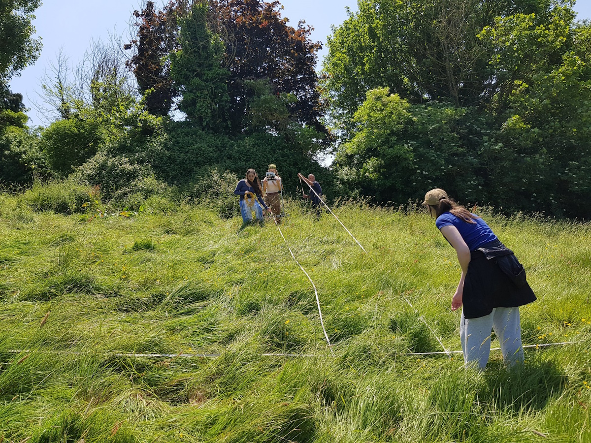
The tape measure vs. the archaeologists - the eternal struggle of trying to ensure that tape measures used for laying out the resistivity survey's grids don't become tangled up.
Broadclyst Survey, May/June 2023 - Day 2
Day 2 of the Broadclyst survey saw the continuation of the magnetometry survey of the field to the south of the church, while the resistivity survey moved to the field to the west of the church. This is the field in which possible areas of landscaping are visible on LiDAR images including a possible area of terracing near its north-eastern edge, which is noteworthy because this area lies opposite the remains of the old manor house. While we don't yet know what this terracing represents, it is possible that it is part of the immediate landscape associated with the manor house. Because of this potential, it's a prime target for the survey although this did mean surveying up and down some steep, overgrown slopes with lots of thistles, nettles and ant-hills, and so provided hours of hot, exhausting fun.

Magnetrometry survey in the field south of Broadclyst's church.
Resistivity survey of the terraced area in the field west of the church.
Who's that emerging from the trees? Why it's Professor Oliver Creighton leading the resistivity survey in a particularly overgrown area opposite the old manor house.
Broadclyst Survey, May/June 2023 - Day 1
As part of Exeter University's Archaeology Field School at Killerton, Devon, a small group of students are also undertaking a series of geophysical surveys at nearby Broadclyst, just outside of Exeter, and which is also part of the Killerton estate. Broadclyst has a 14th-century church and the remains of a 13th-century manor house, although we know that the Nonant or Novant family held the manor from at least c.1100. Interestingly, the field boundaries around the church suggest the presence of a possible manorial enclosure, while traces of landscaping may be revealed by LiDAR images and which may relate to this manorial landscape. The geophysical surveys will hopefully uncover more details of this landscape, and day 1 of the survey included some resistivity and magnetrometry surveys in a large open field that lies immediately south of the church.
Magnetometry survey in the sun next to Broadclyst's church.

Resistivity survey in the field south of the church.
Mapping Potential Manorial Centres
We have been hard at work collating and mapping potential early manorial centres across several counties in south-west and north-east England. Most of this data has been compiled from evidence held by the various regional Historic Environment Records (HERs) as well as Historic England's Listed Buildings register, although further work remains to be done in order to fully rationalise this data. The map below is an example of this work showing sites in Devon - the red dots are sites that are potentially manorial in nature, while the blue dots represent ecclesiastic sites of churches and chapels.

South-West Site Visits, April 2023
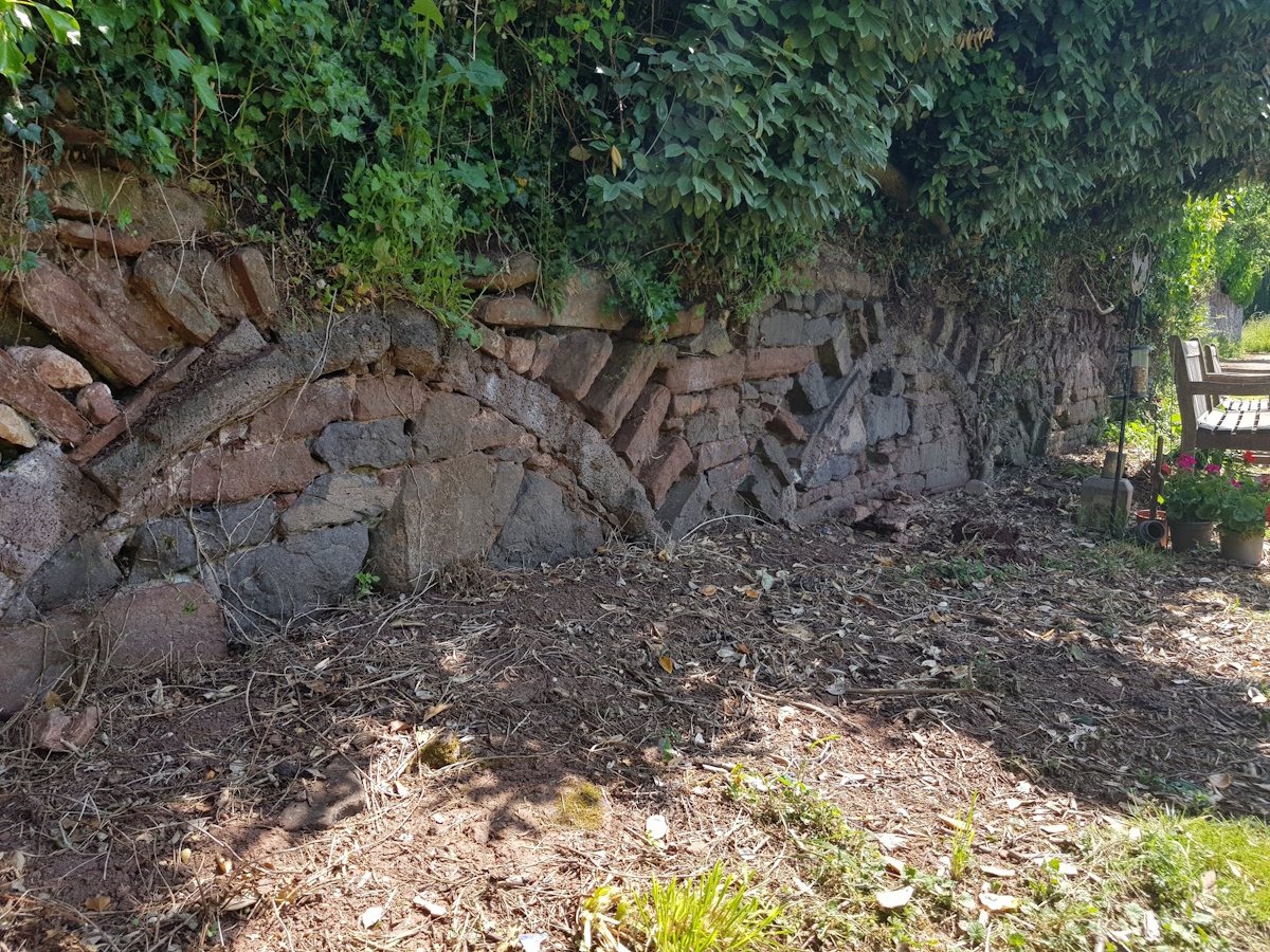
The Where Power Lies team have been visiting a number of sites within south-west England to identify further possible case studies. One particularly interesting site is Saintbury, Gloucestershire, where a group of earthworks lie immediately to the west of Saintbury's church, whose Anglo-Saxon sundial suggests an early origin. The earthworks, consisting of a platform within an oval enclosure and a holloway, possibly represent an early manorial complex and have been mapped from aerial photos and are visible on LiDAR images but have not previously been investigated; the Where Power Lies team will be surveying the site in July 2023.
Saintbury's church.
Earthwork remains of the enclosure in the field next to Saintbury's church.
Fieldwork Survey - Bosham, March 2023
The Where Power Lies team will shortly commence their first fieldwork survey, which will take place at Bosham, West Sussex. The site is perhaps best known as the main residence of Harold Godwinson, and acted as a Channel harbour in the medieval period. Like many aristocratic compounds of this period, the character of Harold’s holding is poorly understood, but the Bayeux Tapestry depicts a church, hall, and tower all situated somewhere on the site.

Bosham's church.
Surveying the area around Bosham's church using ground penetrating radar (GPR).