
2013 Participants
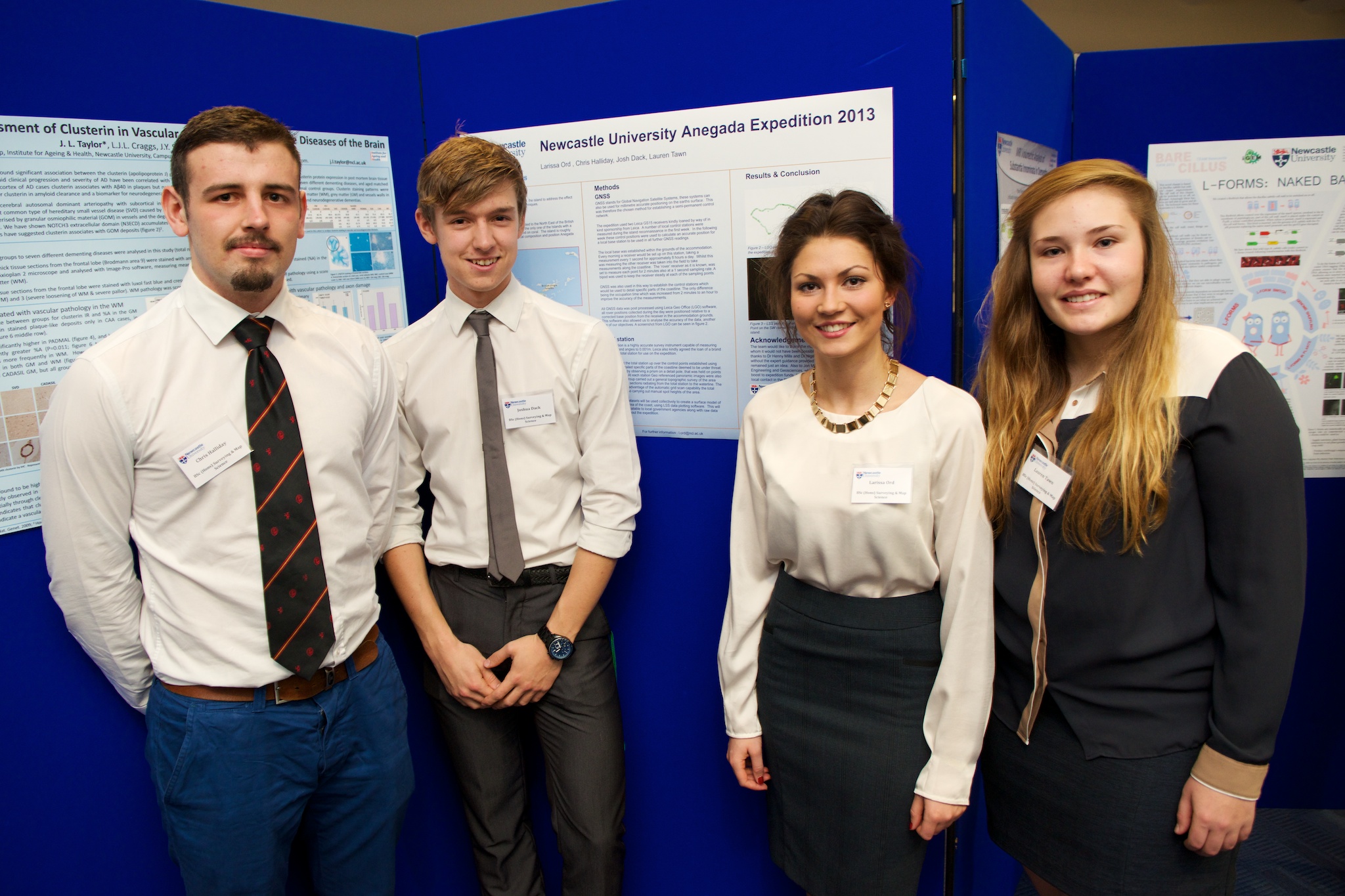 Chris Halliday, Joshua Dack, Larissa Ord & Lauren Tawn
- BSc (Hons) Surveying & Mapping Science
- Newcastle University Expedition 2013: Monitoring and surveying coastal erosion in Anegada, British Virgin Islands
Climate change has become an increasing concern over the past decade, as its effects are ever more apparent. One such effect is coastal erosion which is of major concern to many islands, particularly those in the Caribbean. Anegada, the most North Easterly of the British Virgin Islands (BVI) is exposed to the strong currents of the Atlantic Ocean. Due to its location, and low lying nature it is particularly susceptible to coastal erosion from a combination of sea-level rise and tropical storms. The team, consisting of four Surveying and Mapping Science students, mapped the boundary of the island using GNSS (Global Navigation Satellites Systems) followed by an in depth survey, using a high accuracy Total Station, to detail specific areas of concern in order to investigate the extent of coastal erosion. In these areas cross sections, grid scans and a topographic survey was measured. This has provided a sufficient data set for our own use and will contribute to potential future monitoring by the BVI Department for Disaster Management (DDM).
Funding Source: Newcastle University Expeditions Committee, Scopus, Plowman Craven, Leica, CECA, ICES, Loy Surveys, Anegada Beach Club, School of Civil Engineering and Geosciences.