
2012 Participants
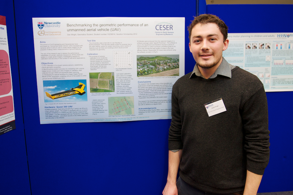 Daniel Wright
- BSc (Hons) Surveying and Mapping Science
- Benchmarking the geometric performance of an unmanned aerial vehicle (UAV)
The school of Civil Engineering and Geosciences have purchased an ‘Unmanned Aerial Vehicle’ (UAV) equipped with cameras which it aims to use to create aerial imagery. The aim of the research will be to look into the potential for using small, relatively inexpensive systems such as this to produce accurate digital terrain models and maps. The technology however, being a relatively new introduction to the survey industry, will need to be tested and the cameras calibrated to a high level to reduce any errors. This testing can be used to develop an optimum workflow for the system.
Funding source: Newcastle University