
Participants
 Joseph Thomas, Joseph McGrattan, Madeleine Graham, Isaac Benfield, Holly Muntus and Catherine Clarke
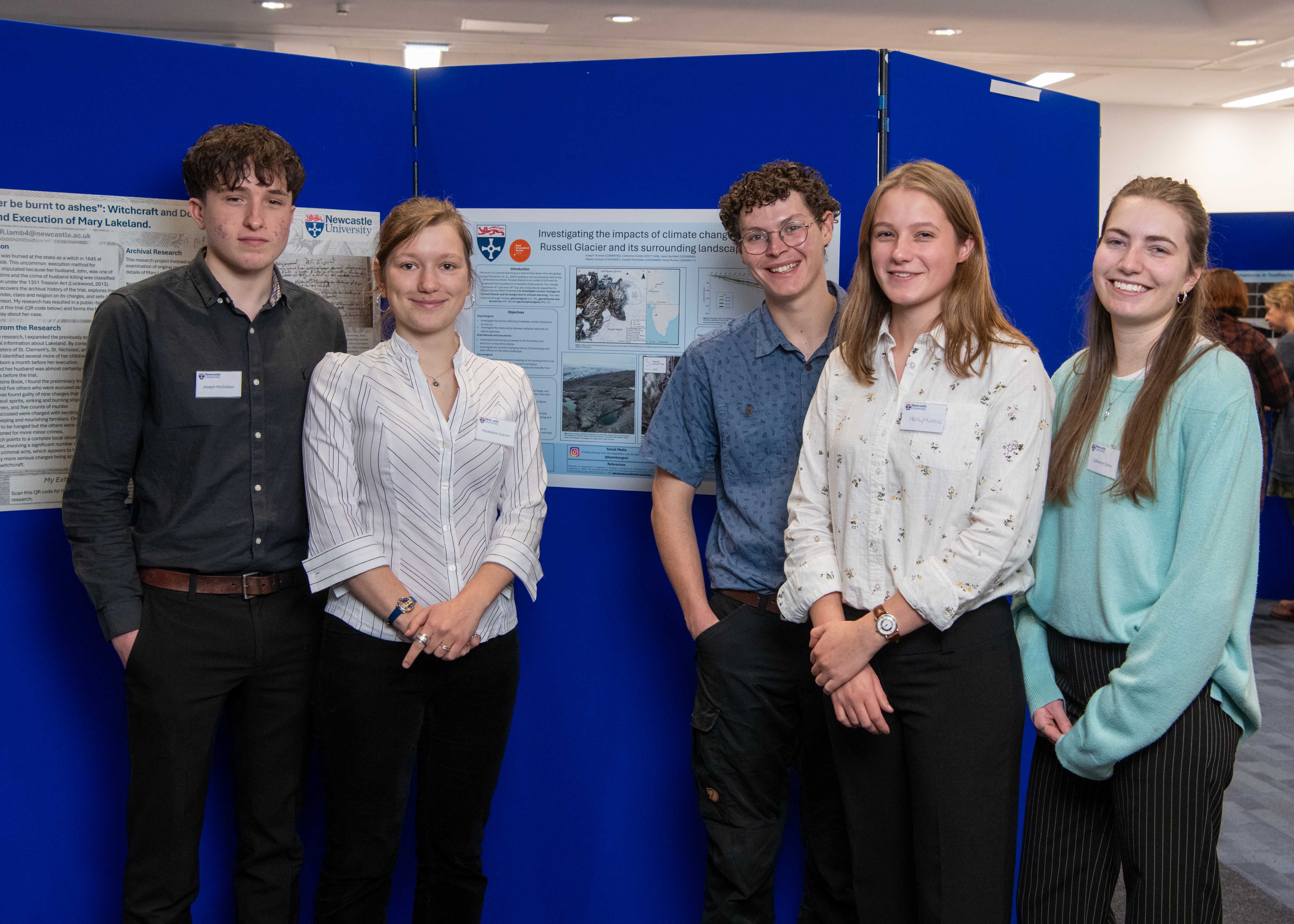
- Greenland Expedition: Investigating the impacts of climate change on Russell Glacier and its surrounding landscape
- BSc Hons Geography and BSc Hons Physical Geography
During this expedition, we successfully investigated and produced datasets for six dissertation projects, two on ice and four ice-marginal. Research was focused on Russell Glacier (67° 5’48.03”N, 50°13’4.97”W) an outlet of the Greenland Ice Sheet. The stationary margin of the glacier around Point 660 (67° 9’8.28”N, 50° 2’49.29”W) provided a good analogue for studying anthropogenic climate change within the arctic.
A previously unstudied paleo-lake delta system was mapped using differential GPS. Further analyses of these data will produce a geomorphological map, along with relevant sedimentological information, to better understand the geomorphological
history of the lake-delta system. The ice-marginal land system around Point 660 was mapped using differential GPS. Moraine morphologies showed both thrust-block and ablation characteristics. These will be compared with historic digital
elevation models and surface grain-size information to produce a development for the land system. Processes of sediment transfer around Point 660 were measured using detailed sedimentological techniques. The included sites of debris upwelling
at ice-marginal streams and throughout the moraine system. The impacts of historic jökulhlaups around a periodically draining proglacial lake were investigated using sedimentological techniques. Logs were taken at 15 sites. Aerial photography using
a UAV was also undertaken. These will be used to produce a detailed geomorphological map. The role of fi ne glacial debris upon ablation rates was investigated across 15 ablation poles. Sites were chosen to represent the variability in debris colour around the Point 660 ice, aiming to correlate ice surface colour to significance of melt. Finally, the evolution of meltwater channels was investigated through mapping of streams on the glacier surface. Daily measurements of channel width, depth and water velocity were taken.
Results of these investigations form the basis of undergraduate dissertations and extends previous Newcastle University work in the study area.
Funded by: Newcastle University Expeditions Committee, Royal Geographical Society (with IBG), Gino Watkins Memorial Fund, Sonia Stonehouse Expedition Fund, Gilchrist Educational Trust, Andrew Croft Memorial Fund, The Arctic Club, Confederation of Scandinavian Societies (CoScan)
Project Supervisors: Professor Andrew Russell, Professor Neil Ross and Professor Rachel Carr