THE TOWN WALLS AT NEWCASTLE: CONSERVATION MANAGEMENT PLANS
External partner: Tyne & Wear County Council – Archaeology Section
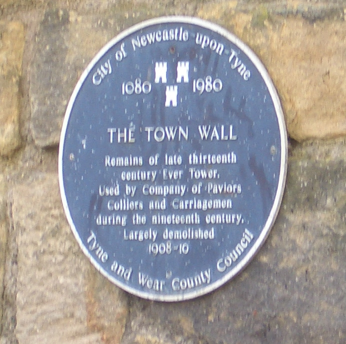
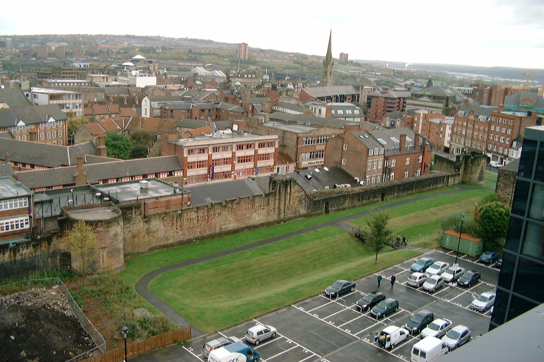
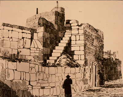
Described by contemporary sources as one of the most impressive fortifications in the country, work on Newcastle Town Wall began in piecemeal fashion around 1265 (the date of the first grant of murage). Excavation has demonstrated that building continued until the early fifteenth century. At their greatest extent the defences occupied a strip of ground c. 100 feet wide, and consisted of an intra-mural road, a wall (2-3+ m thick), a ditch (11 m wide x 5 m deep) and some open ground. The wall was defended by 6 large gates and one small one, 17 towers and several turrets, and was pierced by numerous posterns and water gates. Demolition began in c. 1762, and continued into the C20.
Only small sections of the defences survive (with some gaps) in three main sections: between the Close and Forth Street; between Westgate Road and Newgate Street, and along the City Road to Sallyport Tower. Each of these lengths requires a Conservation Management Plan to aid the City council in the maintenance and enhancement of these Scheduled Ancient Monuments.
The Historic Environment Record (HER) contains a wealth of information on the history and archaeology of the Town Walls, as well as information on recent work on the conservation of the medieval fabric. An important element to be addressed in the project is the development of ideas for interpreting and publicising the ruins to a wide audience.
|