HADRIAN'S WALL INTERPRETATION STRATEGY
External partner: Tyne & Wear County Council – Archaeology Section
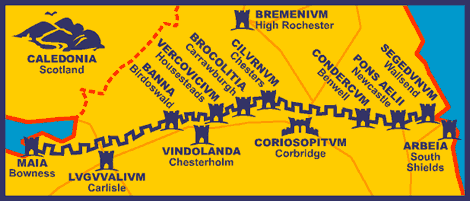
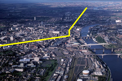
The line of Hadrian's Wall through Newcastle
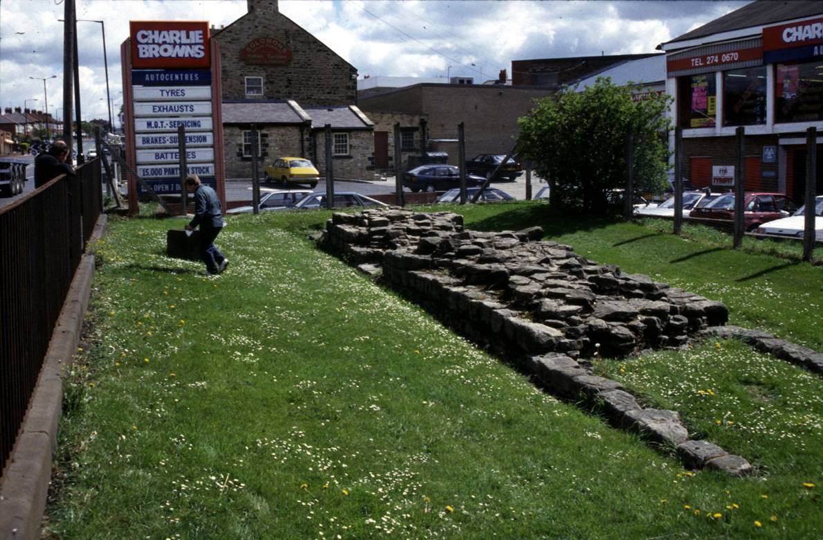
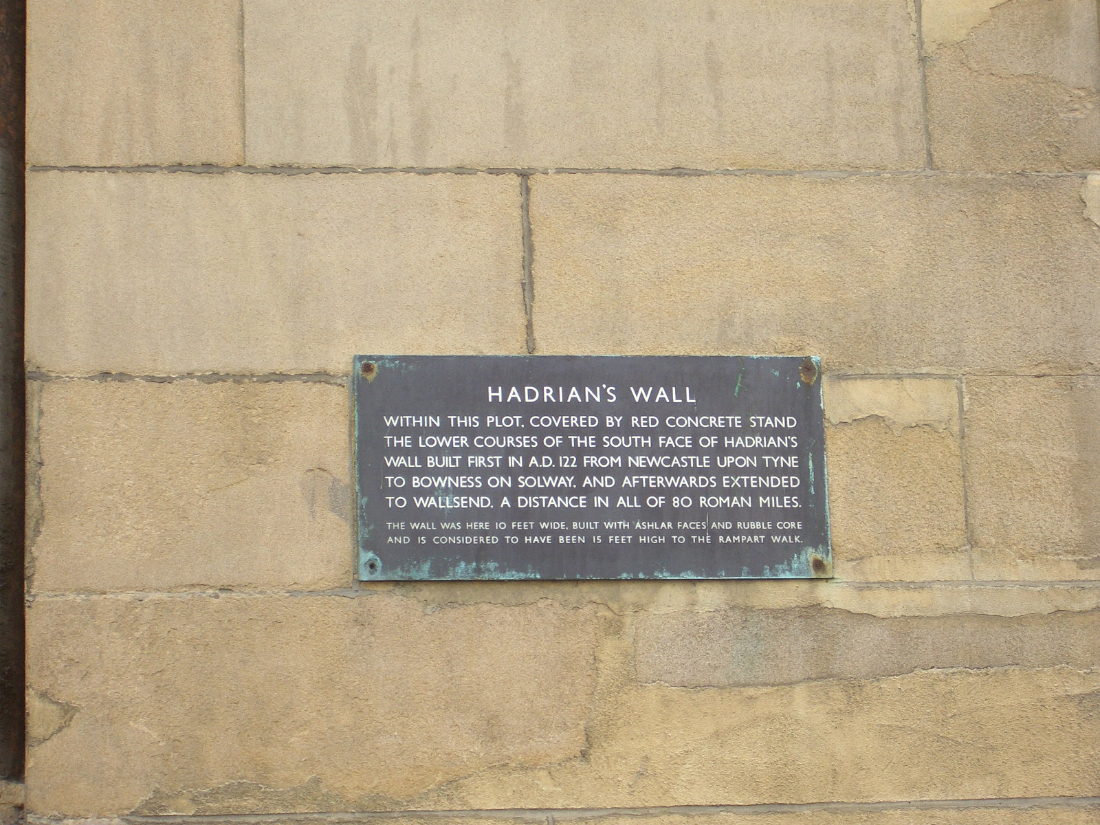
Hadrian’s Wall was inscribed as a World Heritage Site in 1987, as the most complex and best preserved of the frontiers of the Roman Empire. Since 2005 it has been part of the Frontiers of the Roman Empire World Heritage Site, along with the Roman Frontier in Germany, the Upper German-Raetian Limes (“Obergermanisch–Raetischer Limes”) http://whc.unesco.org/en/list/430. The World Heritage Site is centred on the frontier works constructed by the Roman army from AD 122 on the orders of the Emperor Hadrian. Hadrian’s Wall itself is a complex structure, which was subsequently altered and adapted from the moment of its initial conception until the fourth century. Little of the frontier complex survives above ground in the most urbanised section of the monument, the section through the centre of Newcastle.
Although the monument is rightly described as truly world class, the same cannot be said of the way it is currently interpreted. A comprehensive interpretation strategy is needed to convey a consistent story that links together the fragmented (visible, or excavated) portions of the wall, and signpost the linear monument through the urban streetscape.
Tyne & Wear County Archaeologist’s office can provide extensive background documentation, particularly information on where the Wall has been revealed and what might be expected in areas about which we have no firm knowledge. The Hadrian’s Wall Management Plan (currently being redrafted) contains much relevant and helpful information: the draft can be consulted at http://www.hadrians-wall.org/page.aspx?page_id=215
|